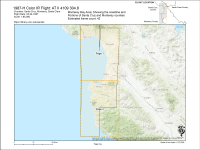
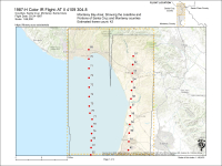
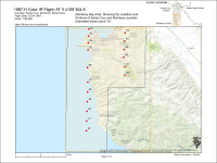
Scale
1:65,000
Decade
1980-1989
County
Santa Cruz County
Monterey County
Place
Aptos and La Selva Beach
Capitola
Elkhorn Slough
Fort Ord
La Selva Beach/Aptos
Lighthouse Field
Live Oak
Los Padres National Forest
Montara State Beach
Monterey Airport
Monterey City and Peninsula
Pajaro River Valley
Santa Cruz City
Soquel Point
Watsonville
Watsonville Airport
This flight has not yet been digitized, please e-mail diginit@ucsc.edu for other access options.
Digitized Status
No


 Santa Cruz, CA


