⬇ CLICK TO ZOOM
Scale
1:12,000
Decade
1970-1979
County
Santa Cruz County
Monterey County
San Mateo County
Place
Ano Nuevo
Antonelli Pond
Aptos and La Selva Beach
Big Sur
Capitola
Carmel
Coastline Only, Monterey County
Coastline Only, San Mateo County
Coastline only, Santa Cruz County
Elkhorn Slough
Greyhound Rock
Half Moon Bay
La Selva Beach/Aptos
Lighthouse Field
Live Oak
Los Padres National Forest
Marina
Montara State Beach
Monterey City and Peninsula
Natural Bridges
Pajaro River Valley
Pescadero
Pillar Point
San Lorenzo River Mouth
Santa Cruz City
Santa Cruz Small Craft Harbor
Soquel Point
Waddell Creek Basin
Wilder Ranch
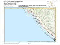
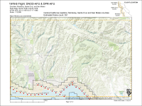
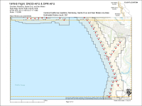
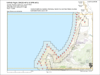
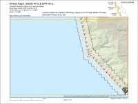
This flight has not yet been digitized, please e-mail diginit@ucsc.edu for other access options.
Digitized Status
No

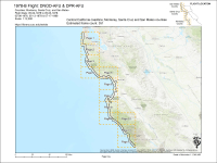
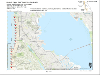
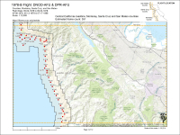
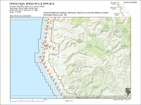
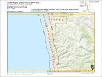
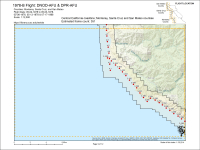
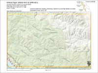
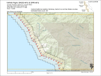
 Santa Cruz, CA


