⬇ CLICK TO ZOOM
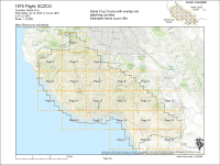
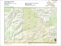
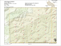
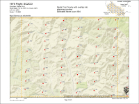
Scale
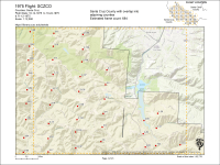
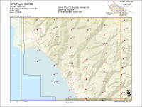
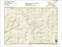
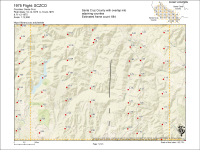
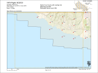
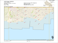
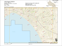
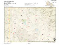
1:12,000
Decade
1970-1979
County
Santa Cruz County
Monterey County
San Benito County
Santa Clara County
Place
ALL of Santa Cruz county
Ano Nuevo
Antonelli Pond
Aptos and La Selva Beach
Ben Lomond
Big Basin State Park
Boulder Creek
Capitola
Castroville
Corralitos
Elkhorn Slough
Felton
Gilroy
Gonzales
Greyhound Rock
Highway 17
La Selva Beach/Aptos
Lighthouse Field
Live Oak
Natural Bridges
Nisene Marks State Park
Pajaro River Valley
Pogonip
San Andreas Fault Zone
San Lorenzo River Mouth
San Lorenzo River Valley
Santa Cruz City
Santa Cruz Small Craft Harbor
Scotts Valley
Soquel Point
University of California, Santa Cruz Campus
Waddell Creek Basin
Watsonville
Watsonville Airport
Wilder Ranch
Digitized Status
Yes

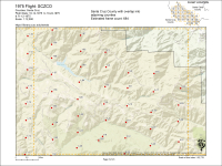
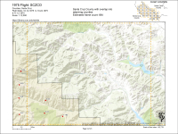
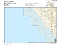
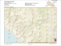
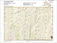
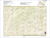
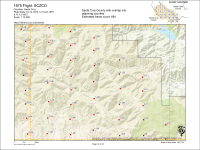
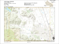
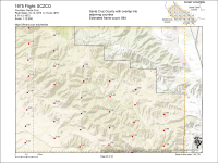
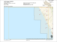
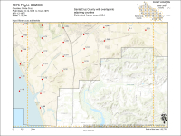
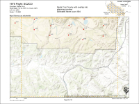
 Santa Cruz, CA


