Scale
1:30,000 +
Decade
1960-1969
County
Santa Cruz County
San Benito County
San Mateo County
Santa Clara County
Place
ALL of Santa Cruz county
ALL of San Mateo county
Alameda County
Ano Nuevo
Antonelli Pond
Aptos and La Selva Beach
Ben Lomond
Big Basin State Park
Boulder Creek
Capitola
Corralitos
Crystal Springs Resevoir
Felton
Gilroy
Greyhound Rock
Half Moon Bay
Henry Coe State Park
La Honda
La Selva Beach/Aptos
Lick Observatory and Mt. Hamilton
Lighthouse Field
Live Oak
Los Gatos
Montara State Beach
Morgan Hill
Natural Bridges
Nisene Marks State Park
Pajaro River Valley
Palo Alto
Pescadero
Pillar Point
Pogonip
San Francisco Airport
San Jose City
San Jose Airport
San Jose State University Campus
San Juan Bautista
San Lorenzo River Mouth
San Lorenzo River Valley
Santa Clara Valley
Santa Cruz City
Santa Cruz Small Craft Harbor
Scotts Valley
Soquel Point
University of California, Santa Cruz Campus
Waddell Creek Basin
Watsonville
Watsonville Airport
Wilder Ranch
Digitized Status
No

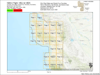
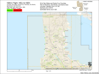
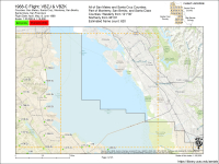
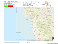
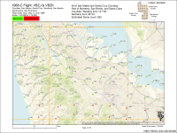
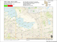
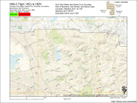
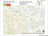
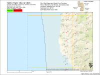
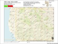
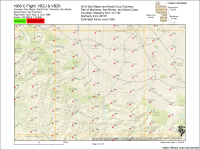
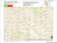
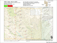
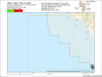
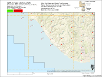
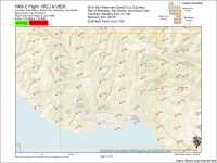
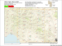
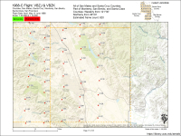
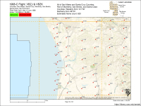
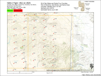
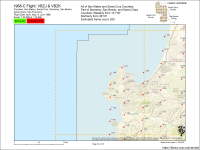
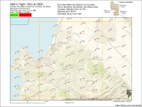
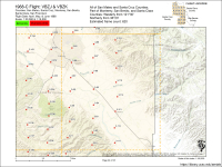
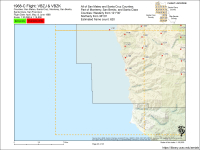
 Santa Cruz, CA


