⬇ CLICK TO ZOOM
Scale
1:23,600
Decade
1950-1959
County
Santa Cruz County
Monterey County
San Benito County
Place
Antonelli Pond
Aptos and La Selva Beach
Capitola
Castroville
Corralitos
Elkhorn Slough
La Selva Beach/Aptos
Lighthouse Field
Live Oak
Natural Bridges
Pajaro River Valley
Pogonip
San Juan Bautista
San Lorenzo River Mouth
Santa Cruz City
Santa Cruz Small Craft Harbor
Soquel Point
University of California, Santa Cruz Campus
Watsonville
Watsonville Airport
Wilder Ranch
This flight has not yet been digitized, please e-mail diginit@ucsc.edu for other access options.
Digitized Status
No

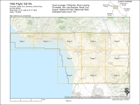
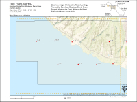
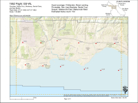
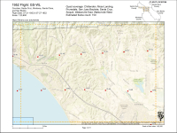
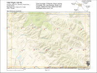
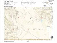
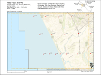
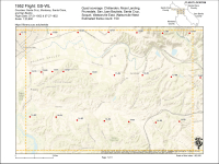
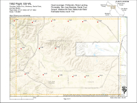
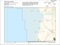
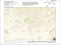
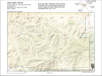
 Santa Cruz, CA


