⬇ CLICK TO ZOOM
Scale
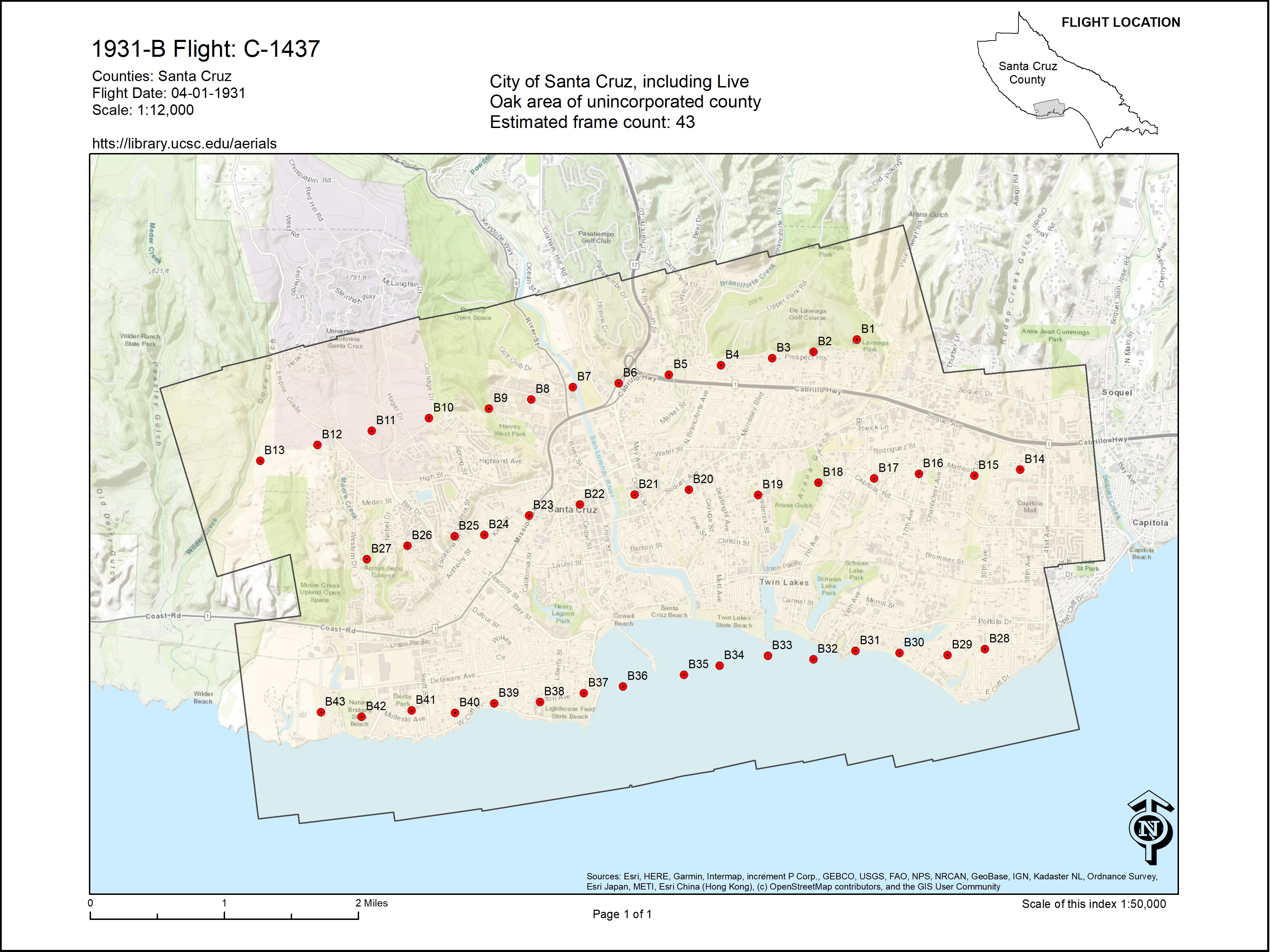
1:12,000
Decade
1930-1939
County
Santa Cruz County
Place
Capitola
Lighthouse Field
Live Oak
Natural Bridges
Nisene Marks State Park
Pajaro River Valley
Pogonip
San Lorenzo River Mouth
Santa Cruz City
Santa Cruz Small Craft Harbor
Soquel Point
University of California, Santa Cruz Campus
Wilder Ranch
Digitized Status
Yes
 Santa Cruz, CA


